
Your Land Has a Story-
We Help You Map It.
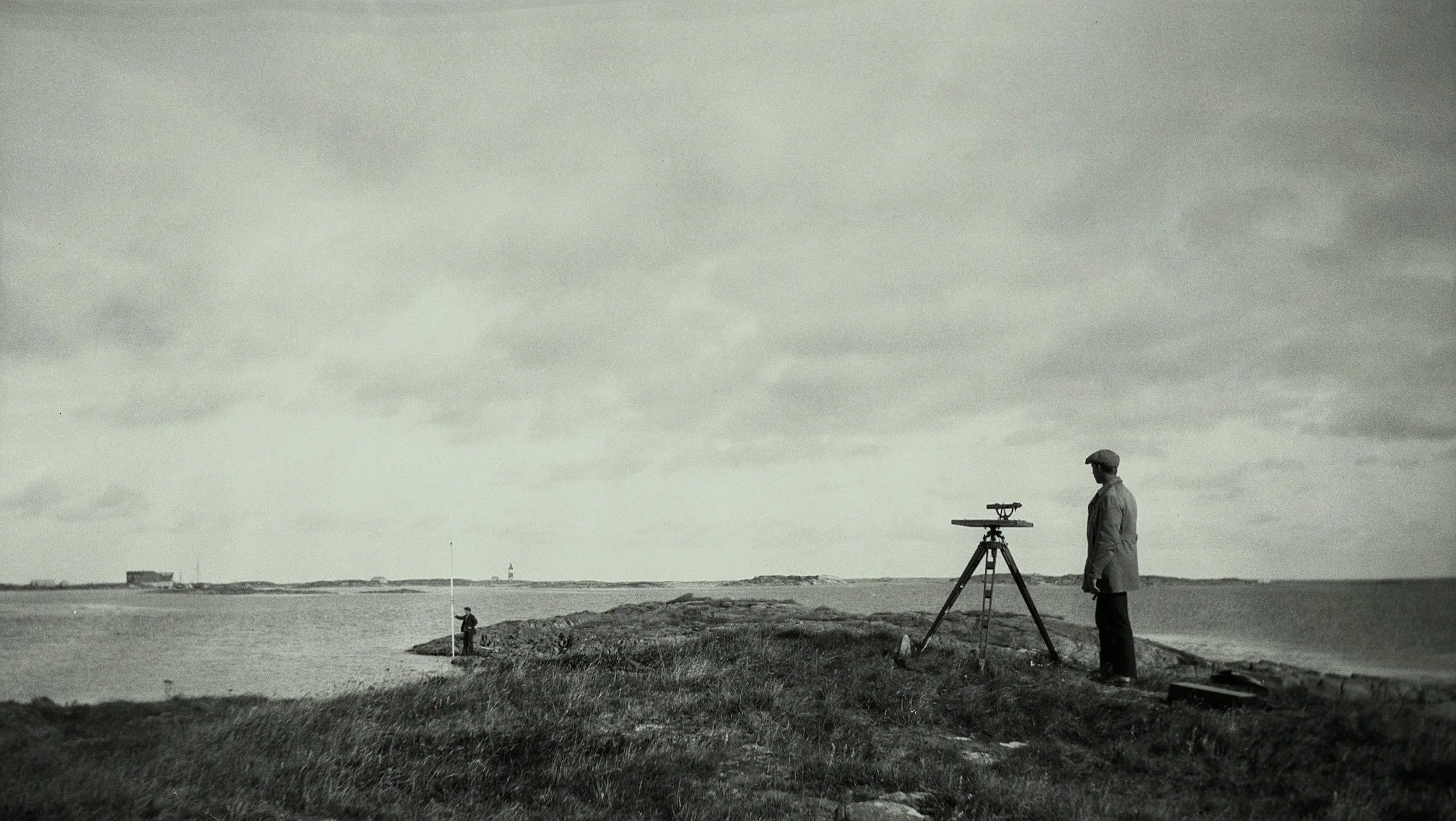
Proudly serving the great state of Tennessee with purpose, precision, and mapping accuracy.

Where It All Began
Willet Mountain Surveying is named in homage to a childhood spent exploring the hills of Willet Mountain, where Josh spent long days traversing every trail and ridge. Those early adventures sparked a passion for the land that continues to guide everything we do. Along with his surveying expertise, Josh also holds a professional geology license, bringing a deeper understanding of the earth beneath our feet. As a family-owned business serving Tennessee, we combine a love for the outdoors and deep-rooted experience with advanced technology to provide precise and reliable surveying services.

Joshua Gentry PG, PLS
Our Services
-
A boundary survey clearly shows where your property begins and ends. It identifies the exact property lines and corners using legal documents and measurements. Whether you're building a fence, planning a project, or buying or selling land, a boundary survey helps avoid disputes and gives you peace of mind about your property lines.
-
Construction layout, also known as construction staking, is the process of marking where structures will be built on your property based on approved building plans. It ensures that everything—from foundations and walls to utilities—is placed in the right location and at the correct elevation. This service is essential for keeping your project on track, accurate, and within code.
-
Topographic mapping shows the natural and man-made features of a piece of land—including elevations, slopes, trees, buildings, and more. It provides a detailed picture of the terrain, which is essential for planning construction, drainage, landscaping, and other site work. Whether you're a homeowner, developer, or engineer, a topographic map helps you make informed decisions before starting a project.
-
Land planning and tract layout helps turn your property into a well-designed, usable space. Whether you're developing a neighborhood, commercial site, or dividing land into lots, we create a layout that makes the best use of your land while meeting local rules and requirements. From roads and lots to open spaces, we help bring your vision to life in a smart, efficient way.
-
Subdivision planning is the process of dividing a larger piece of land into smaller lots for homes, businesses, or other uses. We help design the layout of streets, lots, and open spaces to make the most of your property while meeting local zoning and development rules. Whether you're creating a small residential neighborhood or a larger community, we’ll guide you through the process from concept to approval.
-
GPS machine control files are digital maps that guide construction equipment with pinpoint accuracy. We create these files from your site plans so GPS-enabled machines—like excavators and graders—can work exactly where they need to. This technology helps speed up your project, reduce mistakes, and save time and money on the job site.
-
An elevation certificate is an important document that shows the height of your building compared to the nearby ground and flood levels. It’s often required for flood insurance and helps protect your property by confirming whether it’s at risk of flooding. We provide accurate elevation certificates to give you peace of mind and make the insurance process easier.
Contact Us
Let us know how we can help you with your project.