
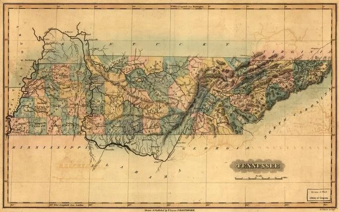
A Brief History of Surveying in Tennessee
Surveying has played a vital role in shaping Tennessee’s land and communities from the very beginning of settlement. Long before modern technology, early surveyors were among the first to explore and document the region’s rugged terrain—often with little more than a compass, chain, and a strong sense of direction.
The Early Days
Tennessee’s surveying history dates back to the late 1700s, when it was still part of North Carolina and later the Southwest Territory. As settlers moved westward, surveyors were responsible for dividing up large tracts of land into farms, towns, and public spaces. These early surveys helped establish the boundaries of counties, roadways, and the state itself.
Fun Fact:
Many of Tennessee’s original property lines were measured using a Gunter’s chain, a 66-foot-long metal chain made up of 100 links. Some of those measurements are still legally recognized today!
State Development and Land Grants
In the 1800s, land grants were used to reward Revolutionary War veterans, which meant large portions of Tennessee were divided and recorded by surveyors. These land grants required precise documentation, making surveying a highly respected profession. Some of the oldest land records still held in county courthouses date back to this period.
Fun Fact:
The shape of Tennessee—a long, narrow rectangle—was influenced in part by the way early land parcels were surveyed and claimed.
Modern Advancements
As Tennessee grew, so did the tools of the trade. The 20th century saw the introduction of total stations, GPS, and eventually drone mapping—allowing surveyors to work faster and with greater accuracy. Despite these advancements, the core principles of boundary and land surveying remain rooted in history and precision.
Today’s Surveyors
Modern surveyors in Tennessee continue to walk in the footsteps of the early pioneers—literally. We often retrace their work, matching old field notes and hand-drawn plats with current legal descriptions. It’s a unique blend of history, science, and fieldwork that keeps us connected to the land and its legacy.
Archives of Appalachia, East Tennessee State University.


Scale 1 in = 30 miles. 1931 reprint of the 1795 original with added imagery to the map and surrounding space. The original print of this map was a published guide for emigrants to the Tennessee country, shortly to become a state. Designed to encourage prospective settlers to move to Tennessee, it contains indications of land quality, soil fertility, etc. It also displays a reference to Native American villages and their assumed boundaries. Archives of Appalachia, East Tennessee State University.